The backlog again! The backlog is becoming the rule rather than the exception.
Let's see... Over a month ago this time!
Yes, it would seem that I rode Cochran Mill with my brother, and then went back a bit later on my own to explore the trails that we didn't hit together.
The first thing I did was head west on Old Upper Wooten Road. This took me past a big clearing, apparently named Zack's Glade.
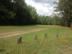
See...
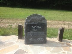
Zack's Glade.
There was a small network of trails there that I explored before getting back on the old road, but once I did, I discovered a few more interesting things. Like this half-buried cargo container.
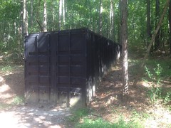
Full of tools, I imagine.
And that the road itself doesn't get much use.
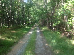
The property to either side is deer lease. I'm not sure that vehicles can access it at all, except via the lease, and then only with permission, and during deer season.
There was a curious sign-in sheet posted at the far end of the road.
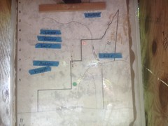
Write your name on a piece of tape and stick it where you'll be hunting. Good idea. The tape and pen were even provided, and lay on the ground beneath the little kiosk.
In the middle of the road I found this riding crop.
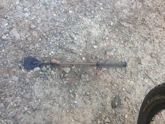
I guess that's what it is. I'd never actually seen one before.
At the far end of the road, there was a yellow gate and beyond that, the road was open to vehicles. It led to the little community of Rico, and I recognized the area from having ridden through there a dozen times on various Silk Sheets adventures.
On the way back I noticed something kind of funny. I once knew a guy who complained that roads in Georgia made no sense because they weren't laid out in a grid. I tried to explain to him that a lot of the roads were really old, and just made by whoever owned the land way back. They had different goals, and they didn't always have the means to build bridges, build roads in challenging locations, or even clear the land. Geography often dictated the location of the road. This seemed ludicrous to him, but I saw a good example of it on that road.
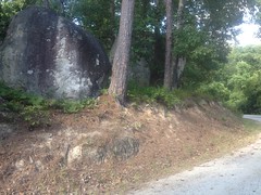
If you're building a road, and you run into gigantic boulders, you go around them. That's how it was done in Georgia, at least.
So, after my little out-and-back I felt like tackling the rest of the trails in the park. They were a bit of a maze, but I eventually figured them out.
The woods itself was beautiful, everywhere I went. All green and ferny.
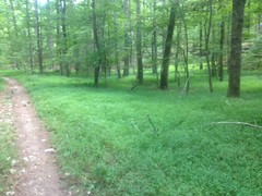
The trails were equally beautiful. Flowing singletrack.
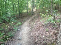
I figured out how to get to that first waterfall we'd been to on the last trip out there.
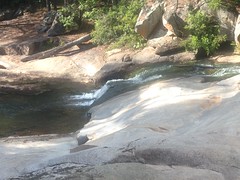
I took some lower-lying trails back though. It turns out that though all the trails in the park are multi-use, some are recommended bike-hike, and some are recommended for horses. So, though they're technically legal to ride, I probably won't be riding those particular trails again.
One of the recommended-horse trails had this little guy decorating one of the carsonite markers.
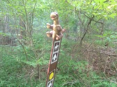
Ha!
On the other side of Cochran Mill Road, I poked around some ruins that I'd caught the vaguest glimpse of during the last ride.
There was this old closed bridge...
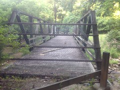
...and various ruins of a dam, or a bridge, or something...
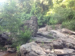
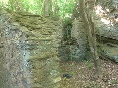
...and then the falls that the dam hemmed in...
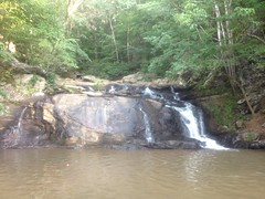
...and the take-off from the dam...
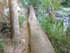
...and even more ruins!
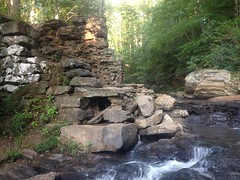
Apparently THAT's Cochran Mill Falls proper, and the ruins belong to Cochran Mill proper. There are numerous other falls and ruins in the area, but those are the ones that the park is named for, and if you say "Cochran Mill Falls" that's what people think you mean.
The pool below the falls looked deep and vast, but compared to the clear waters of the North Georgia mountains, the muddy grey water there looked a lot less inviting.
The map showed 3 loops north of the falls, but it took a while to figure them out. They're just lines on the map, but in real life, the trails that make up the loops have significantly different character. Some are old roads, others are purpose-built singletrack, others seem to have just been worn in over the years.
On one of the trails, I ran into a downed tree that took a bit of effort to get around.
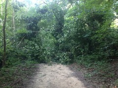
It hadn't been there the day before. Some hikers coming the other direction said that it hadn't even been down an hour earlier!
I did a little exploring over on the Nature Center side too.
This bridge kind-of divides the park. On one side is the Cochran Mill area, and on the other is the Nature Center area.
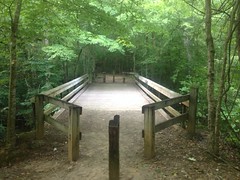
As I rode across the bridge, I noticed a deer milling around below.
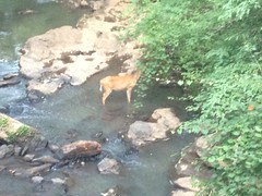
"Don't mind me, I'm just eating these leaves..."
I found another set of ruins along Bear Creek, that I'd been too tired to even look in the direction of the day before...
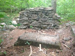
And though I'd seen this dam, I hadn't had an opportunity to check it out very closely.
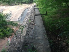
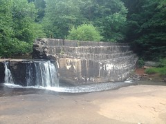
It looked a lot newer than the other constructions in the area. I wonder what its story is...
And, finally, I ran into a little snake.
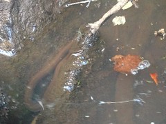
No idea what kind. The water was too muddy and disgusting to be sure. It didn't look poisonous, but other than that... No idea.
So, that was it for that particular ride. I ended up going back a day or two later too, and hitting various little side trails. I think I've explored the entire park now. John had the basic idea down though. The best route out there combines 4 different lollipops, or lassos, whichever you prefer to call them. The terrain is diverse, and there is significant diversity of trail experience. I value that, so I really dig Cochran Mill. It's the closest trail to my brother's house too, so odds are I'll be riding there a good bit.


No comments:
Post a Comment