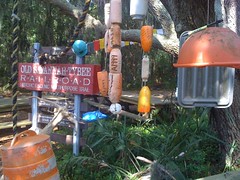
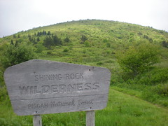
show on mapMy brother has a new daughter due in July. As such, he'll be stuck spinning around on the road and maybe Clinton Farms for the forseeable future. This past weekend was pretty much his last chance to get out into the woods for a couple of days, so I took Friday off work and we drove up to North Carolina to explore the Shining Rock Wilderness.
Thursday night we got on the road.
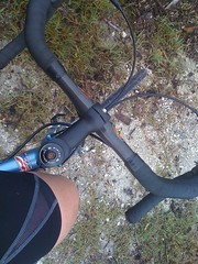
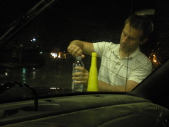
But first, my bro mixed up a little moonshine.
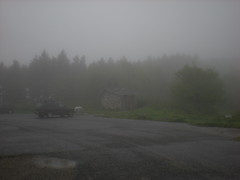
The weather was ruthless. It rained on us all the way to Brevard. Fog closed in as we made our way up to the Blue Ridge Parkway. We had maybe 15 feet of visibility on the parkway itself. We'd planned on parking at the Black Balsam Trailhead, hiking out in the dark and throwing down tents at the first available campsite. But there would be none of that. The rain was getting harder. We just found the nearest flat spot, set up and crashed out.
In the morning, the rain was gone, but the fog was still hanging around.
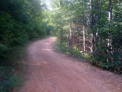
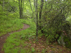
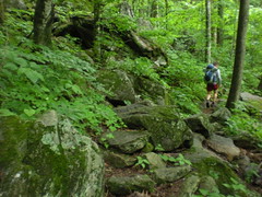
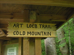
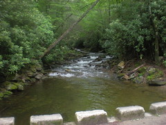
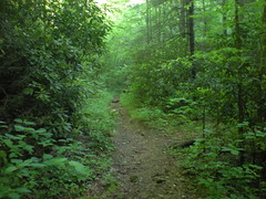
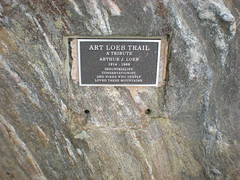
We started up the Art Loeb Spur...
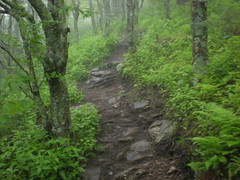
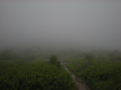
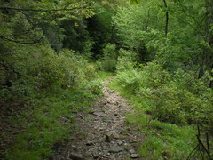
... and hung a left on the Art Loeb itself, passing over and around several balds. In theory, there would be spectacular views. Not today. Just a deep, chunky trail through thick brush. The brush itself was cool. Nothing like it in Georgia.
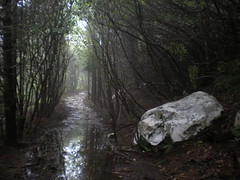
Water bars are inferior to rolling dips. Rolling dips require very little maintenance. Unless water bars are maintained frequently, sediment fills in behind them. Usually they just get buried, but sometimes water overtops them, clings, eats out the soil underneath, creates a hole, eventually the hole gets bigger and bigger and before you know it water just runs underneath. This can happen quickly on exposed trails on sandy soil like the Art Loeb. Case in point:
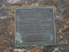
Tennent Mountain. No view here either.
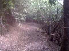
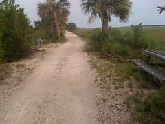
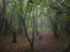
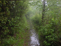
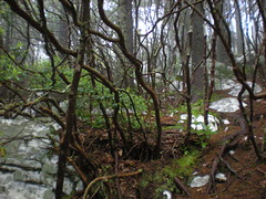
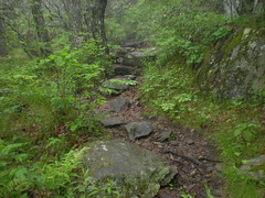
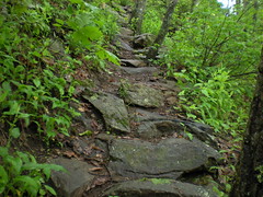
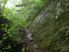
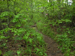
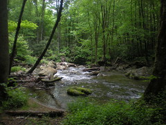
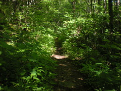
The various flavors of the Art Loeb.
At Ivestor Gap we ran into a couple of guys coming the other way. We started off down the Art Loeb and they said "No, that's the wrong way, go this way, we just came from there..." and sent us off down the Ivestor Gap Trail. We were well down it before we figured out what we were doing wrong. No big deal though, they both end up at the same place.
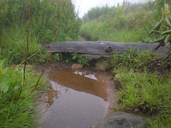
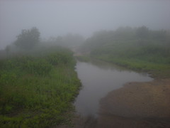
Mostly, the trail was one long puddle.
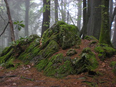
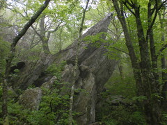
At Shining Rock Gap, the trails didn't exactly match the map. It took a few minutes to get on the right track. Shining Rock is covered with huge chunky, shining quartz, hence the name.
Ivestor Gap and the Art Loeb follow an old roadbed all the way to Stairs Mountain. It looks like the trail past the end of the old roadbed is the trail less travelled.
Stairs mountain is appropriately named.
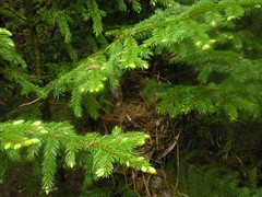
Nest.
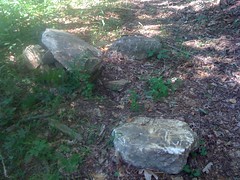
Rock.
North of Stairs Mountain the trail follows a knife-edge ridge. The Narrows.
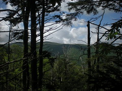
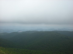
I imagine on a good day there would be spectacular views here as well. Not today.
Maybe it would be clear up on Cold Mountain. We paused at Deep Gap, and pressed on.
God's middle finger.
We'd been pushing through wet brush all day, but at the top of Cold Mountain, it was a whole new level. It was, as my brother called it, a walking shower. Seriously, it was like standing in a shower. With each step, water poured down our arms and streamed off of our fingers. I was a worried about wrecking my camera. At infinite length we reached the high point.
No view, but the ground and rocks were dry-ish. We ate lunch and let our feet dry out for about an hour.
Coming back down was the same walking shower. Not much else to say about it. At Deep Gap we hung a right and got back on the Art Loeb.
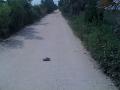
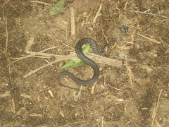
Before long we ran into this little guy. Circle head, no danger.
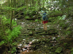
Chunky, chunky, chunky.
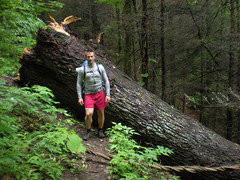
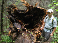
An impressive blowdown.
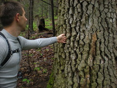
Shagbark Hickory, I think.
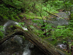
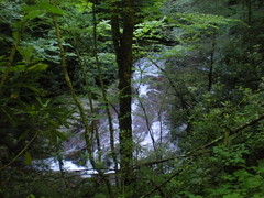
The trail passed just above a long sliding falls. Much more impressive in real life.
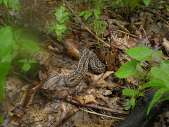
A northern red salamander.
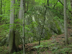
Huge rock formation. Neither of us felt like walking up next to it for scale :)
Finally.
The Art Loeb ends at the Daniel Boone Boy Scout Camp. We needed somewhere to camp, so we headed north a bit and talked to the camp director. Would he offer us comfortable accommodations? No, he sent us up the road.
The Little East Fork.
We passed fifty thousand boy scout tents up on platforms with cots and privys. I was jealous until we got to our actual campsite, which was far superior.
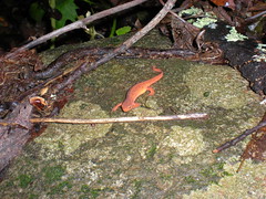
Hey look, another salamander.
Remember that moonshine my brother was mixing? Well, it was really just Heet, which burns well in an empty can of cat food with a bunch of holed punched in it. I gnawed on beef jerky, nuts and dried cranberries while he dined fancily on red beans and rice.
We set up our tents and hung up our clothes. I pulled out my mat and bag and crashed for about an hour. When I woke up and got out of my bag, I got a sudden chill and began shaking uncontrollably. This has happened before. Maybe because it was so warm in my bag compared to outside? Whatever causes it, all I can do is push through it until I can warm back up. It was almost dark and my clothes were "dry" so I pulled everything into my tent, crawled into my bag, warmed up, stopped shaking and slept.
In the morning I felt good. My clothes were dry. The sun was up.
Time to go.
We climbed the Little East Fork Trail.
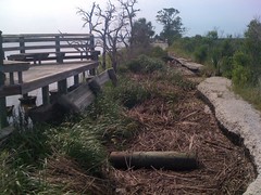
We passed several falls. This one was the most impressive, but the photo doesn't do it justice.
The trail follows an old roadbed. Different sections of the road are at different stages of reclamation, and the trail has many distinctly different flavors.
About halfway up we made a wrong turn. A well worn trail T'ed in from the west. Upstream, the roadbed had apparently been blown out by a flood, but at the time it looked like maybe it just ended at the creek. The map showed switchbacks to the west and didn't show the trail crossing the creek. We figured maybe we were supposed to take the other trail. For a while it looked right, but after 30 minutes or so we could tell it wasn't. Not only was the trail getting less and less well worn, but we kept expecting to come around the end of a spur and switch back. We never did, we just kept going west, barely climbing. Eventually we checked the altitude on my GPS, figured out where we were, headed back, crossed the creek, deciphered the maze of trails on the other side and got back on track.
Near the top, Fork Ridge and Green Mountain were visible.
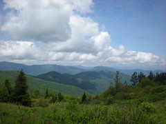
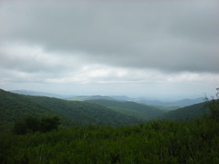
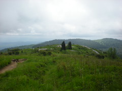
When we reached the Ivestor Gap Trail, we hauled it back to Ivestor Gap. With the fog gone, there were some pretty nice views.
We dried out, ate lunch and thought hard about the future.
The plan was to descend Fork Ridge to Sunburst, camp there and take Green Mountain back the next day. We had the energy, but we'd been wet for a day and a half and our feet were wrecked. Several groups of hikers passed us. All said that the forecast called for scattered thunderstorms on Sunday.
We headed back to the truck.
At least the views would be nice.
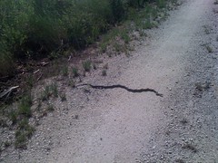
A few hundred yards up the trail we ran into this furious little guy. Triangle head. Dangerous. He struck at us perpetually. Good thing he was only a few inches long.
On Tennent we could see Looking Glass.
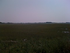
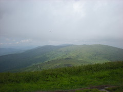
Looking North we could see what we'd been walking around on for the past day and a half.
On Black Balsam Knob, the Art Loeb forks. Today we took the route over the top. There were ten hundred thousand day hikers and tourists running around. I bet my kids could go for a hike to Ivestor Gap and back. My wife might even like it.
The descent to the trailhead was mostly uneventful, then a few hundred feet from the end I tripped and fell on a dead flat section of trail. Woohoo!
We grabbed some food at Wild Hawg BBQ in Brevard and blazed back home. I took a shower immediately, but even after I was clean, Isabel wouldn't get close to me. She said that I smelled like a million butts. Think about that for a second, a million butts. Later she decided that really maybe I only smelled like twenty butts. I guess that's better than a million. Still, twenty butts is pretty bad.