After my last, failed attempt to find the Sugar Hill mining camp ruins, I contacted B. Roberts directly and asked him if he could point me in the right direction. Indeed, he could, and did, and yesterday I was back at it.
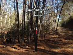
Again, the north gate was closed, and again I had to hike in 3 miles, but I wasn't upset about it. It's a nice hike when it's not hot, and it was decidedly not hot. In fact, I'm pretty sure it was barely above freezing.
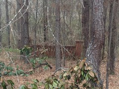
On the way in, I re-noticed a little structure down by Neel Lake that I'd seen before, and always wondered about.
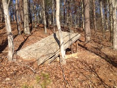
Or, at least, I'm pretty sure, given its location. Looks like it hasn't been used in a long time though.
It doesn't look too structurally sound any more, and given its lack of transition, I'm not sure how much fun it was to begin with. I don't think I'll be jumping it next time I'm out there on the bike.
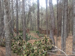
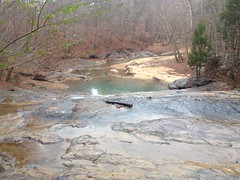
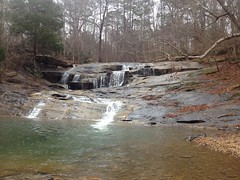
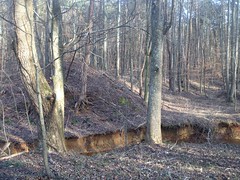
On the way in, I also walked out on the Upper Sugar Hill Creek Dam and got couple of photos of it, now that it's winter and you can actually kind-of make out stuff in the photos.

I found a little connector trail between the two food plots (former lakes) too, and explored that.
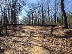
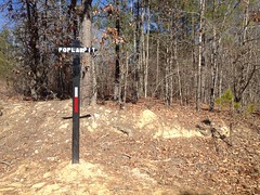
The ruins, as it turns out, are located south of the second food plot, on the slope at the foot of the mountain, just before it really starts to kick up. There's a trail coming down off of the mountain into that general area, locally known as Gutter. The topo map from 1914 shows the same trail, with some structures along it, but it shows the trail with a bit of a different route. Everything has a bit of a different location on that map though. I figured it just wasn't super accurate, and that I'd already passed those structures, or whatever might be left of them, long ago.
Turns out, no, the map is accurate, Gutter has been rerouted, and the ruins are still there, right where the map says they ought to be.
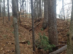
I followed Gutter up a bit, then hung a hard right as it started to climb. From there, I scanned back and forth across the hillside, and figured I wouldn't fail to find what I was looking for.
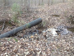
At first I just found modern trash.
A pipe culvert that had gotten upended.
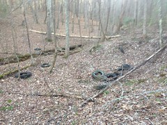
An old tire graveyard.
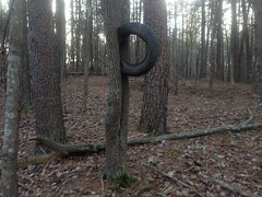
I like this one.
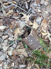
Some paint cans.
An abandoned camp site, but definitely a modern one.
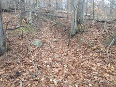
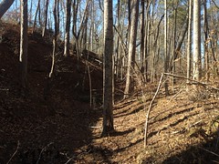
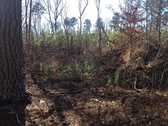
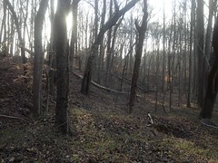
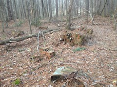
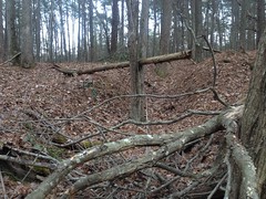
And tangles of deadfall.
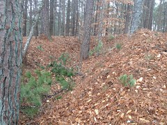
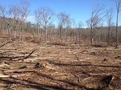
It looked like the area had been logged at one point, then grew back as all pine, which had then had a tough time with storms and snow...
It was a bit of a mess.
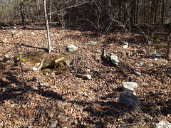
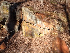
But, I did, eventually, see some bricks off in the distance, and from then on it was all jackpot.
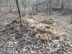
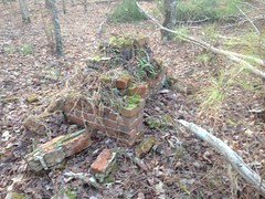
The first ruins I found were of a structure set up on various brick footings, surrounding a central chimney.
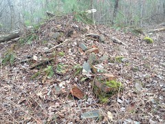
The chimney had collapsed and was strewn out to the northwest. The base of it still remained in a bit of a pile though.
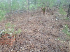
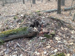
The next ruins were of a similar structure - brick footings surrounding a central chimney.
There was less remaining of this one though.
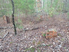
Next, a double chimney.
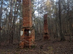
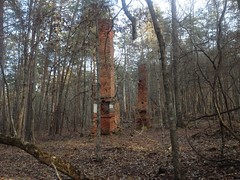
The near chimney was double-sided. I.e. it had a fireplace on both sides and two flues. The far chimney was one-sided.
Footings and brick piles surrounded the chimneys in a wide rectangle.
It had been a large structure. They say there was a hotel in the camp at one point. Maybe this was the hotel. There were also barracks though, so maybe it was that. Somebody knows. Maybe someone from the Etowah Historical Society knows.
Not far away, I found the ruins of another double-sided chimney.
There was a footing off by itself a ways away from that.
And a brick pile a ways away from that.
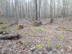
Then I found another entire structure, with the same layout as some of the others - central chimney, surrounded by footings.
There was another set of footings just south of it too. Maybe part of the same structure, or maybe not.
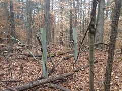
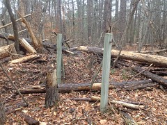
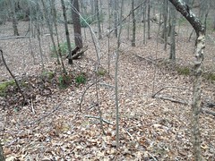
I found the landmark tree that B. Roberts had found too.
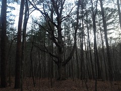
It kind of stands out.
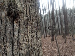
There was a wire sticking out of it.
Maybe a sign hung from it. "Welcome to Sugar Hell" I imagined.
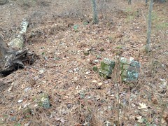
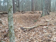
North of that there were these 2 trenches in the ground, one of which had some roofing in it.

In-ground storage?
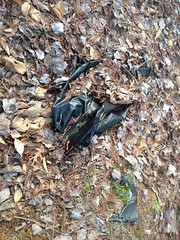
The only other thing I found was this lawn and leaf bag, which was almost certainly not from the mining era.
There was a bit of an old roadbed leading around the east side of the hill, directly to the double-chimney. If it led on from there, it was indistinct, but I bet if I pursued it, I'd find that it tees into Gutter, somewhere.
In the other direction, the old road led past some weird trenching.
The it basically led over to and along Little Log Creek. There was an old ford there too, and diving may way west, I think I figured out how it tees into the rest of the system. I'd have had to have explored some really, really obscure trails to have ever found this stuff.
I have a topo map from the 1940's that shows the location of the double-chimney, and alleges a dirt road leading to it. I didn't find that road, or any trace of it, unless it means to specify the road that I did find, and is just inaccurate.
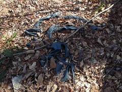
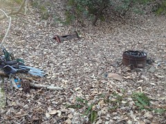
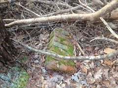
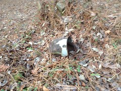
On the way back, I found this old pipe and wash basin, just lying there a bit downhill from the main road.
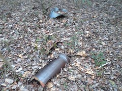
They looked semi-period. There's a washed-out culvert on Little Log Creek that's composed of those kinds of ceramic pipes.
I had to jog out again, to beat the darkness and to get home in time for dinner, but it was a nice run, and I was happy that I was able to do it. I should run more.
Man! Finally!
It was more work than finding the Pool Furnace and Lewis Mill. It makes me wonder what else there is out there, way off trail, in Pinelog, or elsewhere.