Figures.
I think I'll get enough riding in next week, though. Maybe more than enough. I guess it's not the end of the world.
Spinning the Plan B rolodex, out popped Slaughter Mountain.
All right.
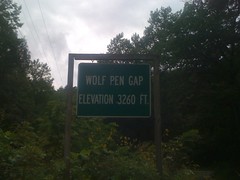
I recently proved that the Crown Vic can rip up the gravel roads. But I didn't want to push it in wet weather. Thus Slaughter Mountain, as Wolfpen Gap is accessible by pavement.
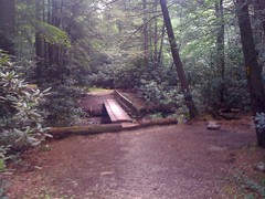
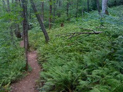
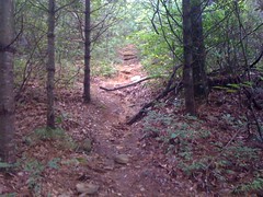
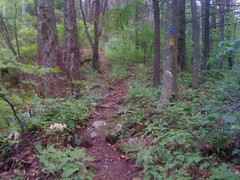
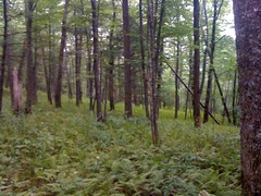
The rain actually stopped as soon as I got going. The trail was pretty much all uphill for a while.
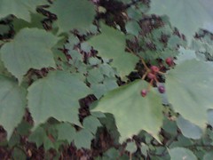
The woods was full of these flowers, as far as I could see. And, for each flower, a bee.
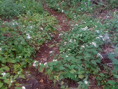
There were actually several different kinds of flowers, and a different kind of bee appeared to like each kind of flower. The buzz was deafening. A veritable roar. I know they say there's a bee shortage these days, but you wouldn't know it from what I saw today.
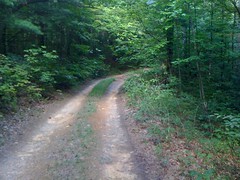
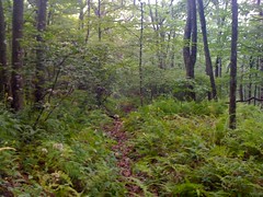
Parts of the trail were on old roadbeds.
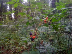
The bees weren't the only ones munching it up.
Actually I was too.
I saw some trees I don't usually see, or maybe just don't notice very often.
Basswood.
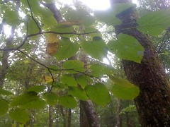
Striped Maple.
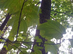
I actually brought my little tree book with me today. That's how I know what they are :)
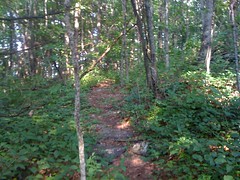
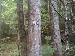
The trail clearly didn't follow the track shown on the topo map, but there were a lot of little side trails crossing it all over. In antiquity, it may have. Hmmm.
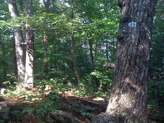
Below Slaughter Gap the trail split at a complex, but well marked intersection. I poked around a bit there before heading off toward Blood Mountain. I've been up there a bunch. Up near the top, there's an old roadbed leading northwest; the original route of the trail, or something.
Must. Hike. It.
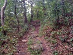
Yep, pretty much a standard abandoned trail. Below grade. Total runoff channel. These days it's armored with deadfall, and apparently also with trash.
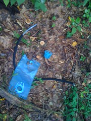
I packed it out. A hundred yards later I found a moldy old shirt. Too moldy. I left it.
This was weird. A lone magnolia tree, looking all ornamental like in somebody's yard.
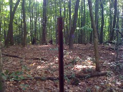
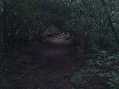
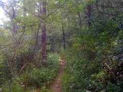
The trail became a "trail", and disappeared altogether at Slaughter Gap.
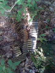
There was a large, recently used campsite there, though. Apparently I'm not the only one who likes hiking old abandoned trails. Though I guess the camelback trash established that already. And the shirt.
Moving on.
Sometimes old trails disappear wherever it's flat and then reappear somewhere else along the periphery. The map says that there should be a trail leading up the ridge to Slaughter Mountain and three trails leading down various westish directions. Yeah, maps say a lot of things, and they aren't always true. Or maybe they were true once, but not anymore.
With so much confusion, it was time for a big circle.
I couldn't find a trail leading up Slaughter Mountain. If there was ever a trail there, it's well hidden now. I did find a trail leading east, but really it was more of a linear clearing in the brush than a trail. Eventually, I found a trail leading west-northwest, right where it should be. In fact, the trail coming down off Blood Mountain bent right into it. If it weren't for a tangle of deadfall, it would have been obvious.
All right, west-northwest it is. The trail kind-of-sort-of followed the track on the map. It was a bit overgrown, but there wasn't much deadfall, and there were fresh footprints and freshly trampled vegetation. Somebody had been here very recently.
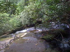
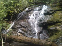
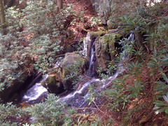
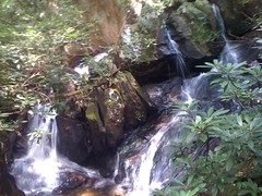
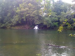
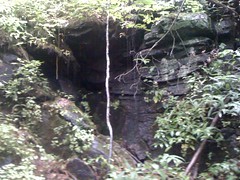
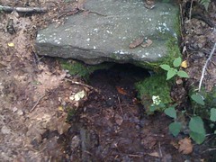
For the next hour or so, I followed ten hundred thousand trails and side trails, trying to match them up to the map, but with little-to-no luck. In several places trails merged into and out of the stream bed itself, making them very difficult to follow. I did find a cool natural spring. Actually a consortium of a dozen or more springs, including this pouring rock overhang.
The whole time I was chasing a ghost. Since leaving the AT on Blood Mountain, I kept stepping into fresh footprints, onto plants that were recently bent over and past thorn bushes that had been recently bent back. Even on the dead end trails. Somebody had the same idea as me this weekend. Maybe the guy that had ditched his camelback.
I'd been thinking I'd find the trail on the north side of Slaughter Creek, take it down to Slaughter Creek Road, cross over to the Slaughter Creek Trail and take it back upstream. But I spent so much time running around in circles, that was off the table.
I did, finally find the trail that leads down to Slaughter Gap Road, or at least I'm pretty sure that I did. I'll have to come back later to check it out though. It was getting late.
Hey, look, another tree that I don't see very often: Viburnum.
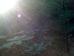
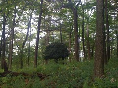
Slaughter Gap was lush.
To get back on the trail, I just needed to head downhill to the east. I took that little clearing-through-the-grass trail, which led to a spring.
No water today though.
There was sort-of a trail leading further down. I sort-of followed it and ended up almost exactly at the complex intersection from earlier.
It was 6:15. I had about an hour-fifteen to get back. Plenty of time. Even enough time to check out the side trails.
And check them out I did.
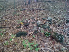
Exhibit A:
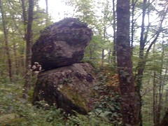
The balancing rock trick.
Just north of there I crossed the real trail, kept going on an old roadbed and ran into a black bear. I guess "ran into" is overstating it a bit. It was about 50 yards away, just sitting down on the trail. I looked up at it, just as it looked up at me. We both paused. Every bear I've ever seen in the wild has shot off as soon as it saw me, but I've always been with a group or on my bike. This time, I was on foot, alone, wearing muted colors. My presence alone did not startle it. I think it was trying to figure out what I was. I figured I'd better try that "raise your arms" thing before it figured out I wasn't dangerous. Yep. I raised my arms, the bear took off. Immediately. It was as if I had pressed it's flee button.
They say to raise your hands because it makes you look larger and this triggers their flight response. But, it occurred to me as I did it that there could be another reason that it scares them. No animal that a black bear has ever seen, except maybe another bear can raise it's arms up like that, and bears are awkward when they do it. I imagine that, to a bear, the graceful raising of arms looks like an unnatural contortion. It'd be like if some little docile-looking dog-sized animal walked up to you, didn't do anything threatening, but then out of nowhere twisted it's head upside down all dibbuk-style or something. That would totally creep most people out, even though it's just a little dog. I wonder if the bear runs away because it gets creeped out when you raise your arms.
Just a thought.
The bear was gone, but I figured I'd give it a wide berth, left the old roadbed, went back to the main trail. The rest of the hike was uneventful. I even made it back with an hour to spare.