The first time I drove through Waleska, I noticed the Reinhardt University campus, which pretty much dominates the little downtown area. Each successive time through, I was like: "Oh, yeah, Reinhardt University." At some point I heard there was a trail there, and always meant to check it out, but a decade's worth of years went by and I was never sufficiently motivated to do so.
Its proximity to Pinelog brought it to mind recently, and now that I've almost thoroughly explored Pinelog, I figured it was finally time to get over to Reinhardt.
I drove up this past weekend and had a fairly easy time finding the lot.
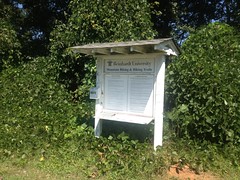
I had a more difficult time finding anyone to talk to about riding.
On the website, there's a waiver you have to sign, and it says that the trails are open to the public but use is handled on a per-case basis, or something. I figured I'd sign the waiver, ask permission, and hit Pinelog if they wouldn't give it to me.
No luck though. There was no one around at the (hilariously named) Boring Sports Complex.

And there were a few guys playing basketball or something at the wellness center next door.
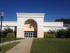
But, they looked like students and all of the offices were dark. It kind of made sense, being Sunday.
The kiosk didn't mention any restrictions on trail use, or the waiver. I figured I'd keep the waiver on me and show it if anyone asked. Worst case, they'd ask me to leave. Also, there was only one other car in the lot when I rode out. Not events going on or anything. I was pretty sure I wouldn't be bothering anyone.
First though, I rode a couple of roads in the area, for context.
The road on the west side of the system (Grady Rd.) had this abandoned elementary-looking school off to one side.
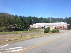
There was a Subway across the steet at the end of Grady. But those were the only things that stood out. The rest was just standard small-town houses and shops.
Ok, trail time. I rode the little paved trail down to the Boring Sports Complex, and milled around there until I got the layout. That was a little tricky, actually, because the trail map I got off the web showed it all under construction, and it showed trails running through parts that have been civil-engineered and built-out.
But it wasn't too tough to sort out.
After that, I did loops and loops and loops until I'd ridden all of the dirt.
The beginner trail is just a big loop around the outside of the system.
Trail "1" it's called. It's mostly gravel road and some double track.
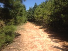
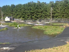
It appears to have originally been the access road for the local water treatment plant.
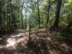
There are signs all over for the intersecting trails, which are also numbered, 1-8.
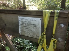
At one point, the main trail diverges from a gasline cut into the woods, and there's an old bridge over the creek there.

It's seen much better days.
And was apparently built by Sorba a while back.
The trails running through the middle of the loop are intermediate/advanced trails. 5 is more doubletrack, and was apparently originally the access road for a pond and the dam that creates it.
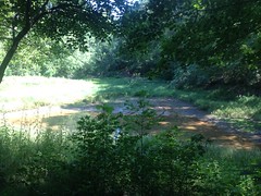
There was a duck on the "pond" seconds before I took the photo but I think he saw me.
There's also a sign warning of Erosion on the way down to the dam, but the trail was actually extra nice there.

I guess they fixed it.
The other trails are more singletrackish, and actually pretty fun to ride. 6 is half old roadbed...
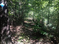
...half bench-cut singletrack, and probably the nicest of the lot.
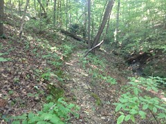
I found this old stone block on 4.
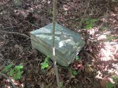
Weird circular holes appear to be drilled at one end. I guess it was dumped out there way back. It really stands out when you're riding by.
8 starts off as just an access trail for a little 2-pad campground...
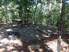
(which actually has bear activity warnings on its signage!)
...then rips downhill, jogs out to a gasline cut and continues ripping back to 1.
Plenty of fun.
I think the web site alleges 7 miles of trail, but I only found about 5. Maybe 5.5 if you generously account for GPS error. It seems unlikely that I missed 1.5 whole miles, but you never know.
Overall, it's an OK system. Not exactly modern, glowing bench cut trails, but old-school trails are fun to ride if they don't get a lot of traffic, which these don't appear to. Yeah. It was a good ride.
The uncertain ok-ness about riding there makes me dubious about coming back though, even if I could find a way to link it up with Pinelog for more miles.


No comments:
Post a Comment