A little over a month ago it had been raining every weekend for the past five, and I had finally gotten tired of just waiting it out. I'd gotten in plenty of local road miles during the week, but I wanted to do some real mountain biking in actual real mountains. That weekend, it looked like it might only kind-of rain, so I jumped at the chance.
Noontootla is the appropriate loop for a day like that, so that's where I went.
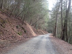
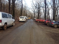
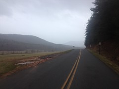
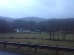
The drive in was a little sketchy though.
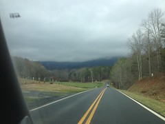
I feared those clouds might pour down on me later, or at least make everything so damp and mushy that I'd spray myself to death riding through it. I'd dealt with that before though, and it wouldn't stop me that day.
I hung a right at Doublehead Gap and parked just up FS42 in the first little turnout. The short little strip of road between there and the gap wet and slippery, but I hoped that the rest of the route would be some amount cleaner.
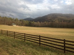
The roll out from there took me past Bailey Creek Farms and I got a good look at Ripshin, or Buzzard Roost, or whatever that ridge is behind it.
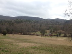
It didn't look too appealing that day, but one day I want to hike that ridge. Seems like there ought to be a trail up there.
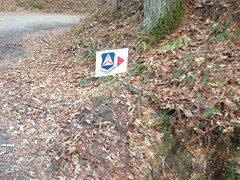
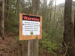
At FS58 there were a couple of interesting signs.
The Civil Air Patrol was apparently doing some operation up that way.
And the road was apparently disgusting enough to warrant notification.
I didn't see much in the way of CAP folk or nasty roads though, at least not for a while. The road had some puddles, but I'd ridden it when it was a lot softer in the past.
It was a pretty nice climb. I had a pretty good time of it.
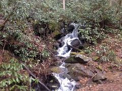
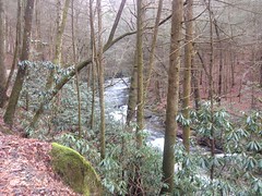
With all of the rain, and without the dense spring foliage coming in yet, it was even a little more scenic than usual.
Closer to Winding Stair Gap, it was as bad as the signs had made it out to be though. It's good they were there, I could imagine someone sliding around and getting stuck at the top up there, but maybe having seen the sign earlier, they'd think twice before just going for it.
FS42 was better than the last bit of 58, but not a lot better.
I also had a tougher time than I expected climbing over those little knobs by Deerlick and Fryingpan Gaps. Usually they feel like I'm getting a break from the slog up 58, but not that day. That day I had to sit back and climb them, and it didn't bode well for the rest of the ride.
I ran into the CAP at the base of Hawk Mountain.
That group there in the photo was their leaders. The CAP guys themselves were semi-assembled behind them in a tangled mass. I'd forgotten about seeing the sign earlier when I rode up on them, and I was like: "Man, what is this? Some Forest Service thing...? Whoa! That's a lot of camo! Ohhhh.... that's right... Civil Air Patrol."
I don't know what they were up to that day. I heard that a long time ago they used to do mock rescues and orienteering and stuff. I've run into them several times over the years but I've only ever spoken to them once. It was like 15 degrees outside and one of the guys was just stunned that my fleece bib and jersey kept me warm enough to exist, much less ride.
I didn't talk to anyone that day though.
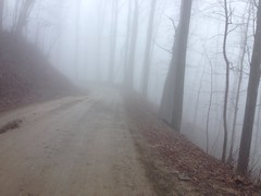
Further up, FS42 was super foggy. You know it's super foggy when the photo even looks foggy.
I had to be careful dropping down to Hightower Gap. Two cars passed me coming the other way, and I had a tough time seeing them coming. I flicked on my little commuter light, but I'm not sure it really did much of anything to make me more visibie.
I passed the lake and the fish hatchery, and the church. I have so many photos of those that I didn't bother getting another one.
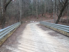
I did get a pic of the old bridge over Little Rock Creek though.
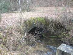
That's the bridge we used to cross, way back. I remember them building the new bridge, but I don't remember the year. Seems like it was early 2000's though, like 2002 or so.
Crazy how overgrown it is now.
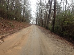
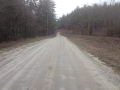
Rock Creek Road was dry and clear.
I hung a left on FS333, but I didn't get far.
It was kind-of closed.

Not a full-on Keep Out, but a friendly Please Avoid Area.
since they asked nicely I pushed on toward the Toccoa.
I was a little muddy by then...
...but the sun was actually starting to come out here and there.
I never saw any actual bright spot on the ground, but there were little patches of blue sky.
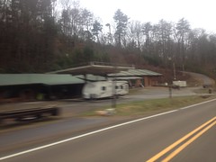
At Hwy 60 I made a little side trip and checked out the ruins of the Rock Creek Cafe.
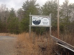

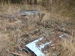
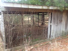
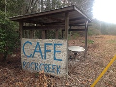
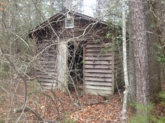

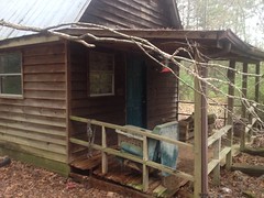
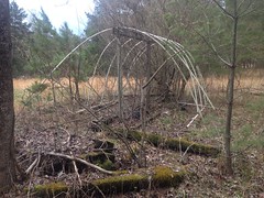
It looked like the main structure had burned at some point, got sort-of cleared, and then the rest of it was just abandoned in place. Judging from the chicken coop, greenhouse, and various plots around the property, it looked like it might have been a farm-to-table kind of place. The internet knows nothing about it though, and I never saw it open, so I really have no idea.
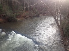
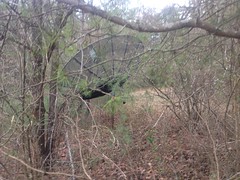
Just down the road on Hwy 60 I spotted a chimney down by the creek.
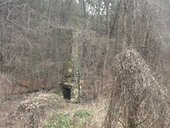
There was some weird brick thing near it, but not much else.
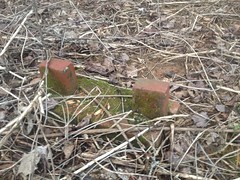
I'd never noticed it before, so I imagine it's pretty well obscured in the summer. No idea who used to live there. There's not even a dot for it on any of my old maps.
I passed Margret at fairly high speed.
...and climbed up over Tooni Gap at a decent pace. Seemed I'd perked up a bit since Winding Stair.
It started drizzling sometime around then. It looked like I'd ridden into it, like it had been drizzling there for a while already. But it was super spotty. I rode in and out of it over and over.
At the Petty Family Cemetery, I made a quick stop to get a photo of it.
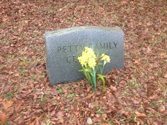
I'd passed it a dozen times, but there was always some reason not to stop.
My reason that day probably should have been that it was getting late and rainy.
I had a couple of blinky lights though, and it wasn't cold enough to care about the rain.
At some point it looked like my red blinky light had died, so I put the white one on the back too. It was funny to me at the time because the exacty same thing had happend a year or two ago, in nearly the same spot, doing nearly the same ride. It turned out though, that the battery wasn't dead, it was just so covered in mud that it wasn't visible, and it was too dark by that point to tell.
I managed to lose my glasses and chain tool somehow, maybe when getting the stuff out of my pockets. I'm not sure. All I know was that I didn't have them when I got home and I couldn't find them anywhere in my truck.
Dangit!
That's why I buy cheap glasses. The chain tool was from like 1998 too, and struggled with 11-speed, so I guess it's time was up anyway.
I ate dinner at El Rey in Ellijay, but I don't remember what I had, only that I ate there.
I do remember being TIRED on the way home and stopping at two different gas stations. One for a snack and the other for a soda. Both just to wake up.
The ride was Ok. Not great. I'd had a tougher time than I'd expected to have.
Just shaking off the winter, I guess.


No comments:
Post a Comment