I ought to be breaking in the new drivetrain, but I got some new shoes lately too, and this past Saturday it seemed like a good idea to break them in instead.
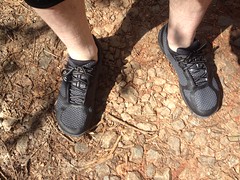
It was easy to decide where to go. My map of the Kellum Valley still had plenty of dotted lines on it.
Kellum Valley? That's the Town Creek area, north/west of Horserange. Not an especially well known area, to be sure.
I started off the day correctly, with a trip to the Dutch Monkey.

It's been a while, and it was on the way. Chocolate Chip Twist - the perfect hiking fuel.
FS57 has many deep mud holes but I was able to drive in for a good bit. The past few times I was up that way it had either been raining, or was raining at the time. I felt no pressing need to brave this one.
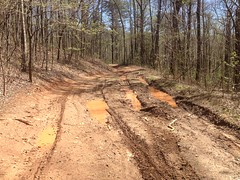
I'd have gone for it in the Durango, or the Subaru, but not the Saturn.
Just down the road from my little parking spot I found a boat.
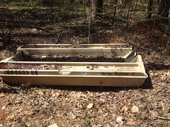
It's always funny to me to find a boat nowhere near the water, especially not on a trailer. I've seen them dumped in the yards of abandoned properties but I haven't seen one in the forest until now. It's like a new level of odd. I always think of hurricanes lifting boats out of the water and depositing them in weird places. I imagined the storm surge necessary to deposit that boat there. Of course, there wasn't any storm surge, just some random guys in a pickup truck, which I also imagined, but that was less interesting.
At the end of the road I hung a left. The last time I was there was in 2010, and there was a really nice homestead ruin - turned campsite back there at the time. It's seen better days though.
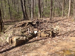
Further up the road I found a weird little shelter thing.
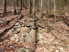
Or maybe it was just art, of some kind. Stone stacking art.
The trail was much like the others in the system.
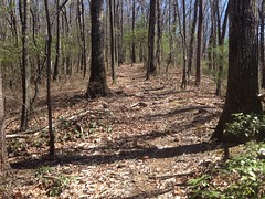
Clearly pretty well used. Horse traffic by the look of it. It went where I expected/hoped it would. The other trails in the area did too. I spent the next hour just knocking them off the list. A few went and went for a while and then just ended abruptly. I discovered later that they ended right at the NF boundary, though there was no indication of that in the woods. I guess somebody knew though. Somehow.
Out near the end of one of the trails there was a big pile of metal roofing.
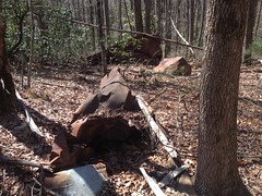
Yeah, someone may have just dumped it there, but the pile was so crumpled and haphazard that it made me remember when Clark told me about tornadoes flinging the roofs of chicken houses into the forest. He and I even found one such unequivocal instance. Perhaps this was another. Certainly more interesting to imagine than a couple of guys in a pickup.
It's early spring now and the trees are barely starting to grow leaves. There is no shortage flowers though.
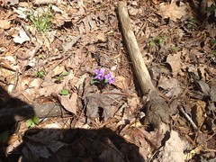
Tons of those.
Tons of these.

Earlier I'd found the edge of the Forest without realizing it. But, I did eventually find a marked edge, or corner as it were.
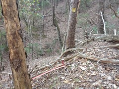
The trail switched back there and headed down to Turner Creek...
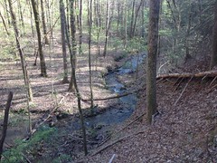
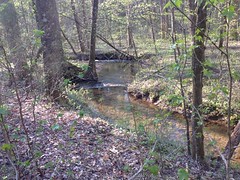
...which it followed for a long, long time.
There was this old stack of logs down there...
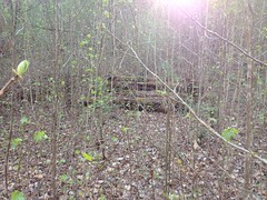
and my imagination roamed again. I imagined a logging effort that went bust, and an effort to build a bridge that went bust, and someone wanting to build a house back there and giving up... But this time I couldn't think of a more likely explanation. It would have been quite an effort to stack them like that.
The road just got cleaner and more wide open the further I went.

Coarse gravel was still present from when it was open to vehicles. I wondered if it still was during hunting season or something, like the Bear Creek Loop.
I felt like I was getting close to the highway and before long I came upon a gate.
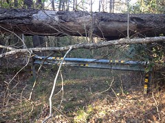
It didn't look like a typical FS pipe gate though. I wondered if I'd managed to wander onto private property. There were no signs, but sometimes there aren't, and I have a propensity for hiking in from a direction that it would seem no one would come from, and that there would be no use in signing. It wasn't the case this time though. I eventually found a proper road and there were FS boundary signs there. The road probably led to the highway, but I figured I could check that out from the highway later, so I turned back.
On the way back I noticed something that I hadn't seen on the way in.
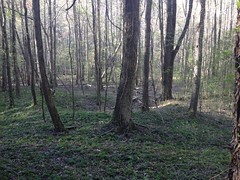
It's kind-of hard to tell in the photo, but that's basically a crater. I'm sure it's not an impact crater, but it's definitely a circular mound of dirt. I'm sure it's purpose is obvious to someone, but my imagination wasn't good enough.
Further up the valley, a side trail led to a fully intact bridge.
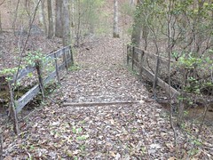
That's the most intact abandoned bridge I've seen yet in Georgia. I was impressed, there's usually just a beam or two left, at most. There may have been a house on the other side of the creek but there wasn't anything left of that now.
At the end of another side trail I found this little sliding falls.
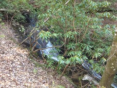
It's the first and only such thing I've found in the entire valley so far. Come to think of it, there is a remarkable shortage of waterfalls in the Kellum Valley. Remarkable.
It was about 6:30 at that point and seemed like a good time to start heading in the general direction of "out of the woods".
The hike out was uneventful as could be. No wildlife, no people. No adversity to speak of.
When I got back to the car, I ate that second donut. Oh, man, let me tell you, that's the way to go. Get TWO donuts and leave one in the car for later. The post-hike Dutch Monkey action is definitely the right way to go. I'll be doing that again.
I struggle to remember what I had for dinner on the way home. I guess it wasn't that spectacular.
And... I guess that's about it. I'm not quite done with the Kellum Valley. There are still 2 dotted lines left on my map. Unfortunately they're pretty far apart . I think I know where one of them goes, but its always possible it'll lead to another whole network.
Wouldn't that be a shame?


No comments:
Post a Comment