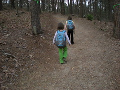
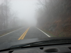
The drenching rain finally let up yesterday at noon. I'd been wanting to explore a bit of the Blue Ridge WMA off of FS69A for a while now. Time to go hiking.
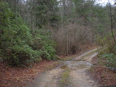
The road in...
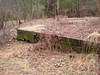
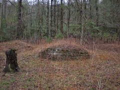
There's a rock wall or something just off the road. Maybe there was an old farm here. Next time I see a Ranger, I'll have to take a look at his map.
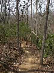
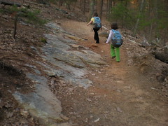
FS69A is "maintained" up to a point. After a small roadblock, a trail continues on the old roadbed. I dub this trail "Old FS69A" though probably it and FS69A had some other name before the FS designation. It's clean for a while but after the first little gap, its overgrown with rhododendron. The old roadbed is still easy to identify and a trail is discernible. But you've got to push through it.
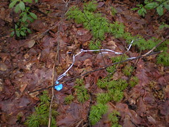
A balloon. I've seen several of these over the years. A kid lets it go, it flies really far, loses altitude, hits a tree, pops and lands in the woods. It's surprising to me how many end up on an actual trail though.
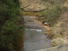
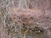
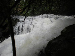
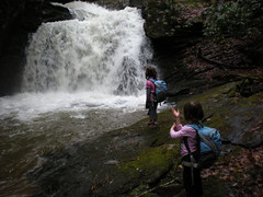
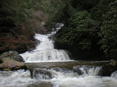
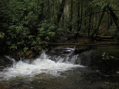
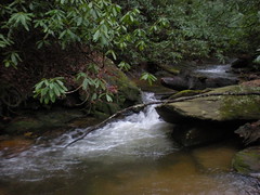
I was treated to a small sliding falls. Looked cooler in real life.

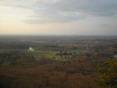
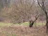
The trail eventually improved and led around to the back of Rock Creek Lake and along upper Rock Creek itself, then suddenly ended at the creek. Across the creek was a dense nightmare of thorns, relatively free of trees, except for holly, which also has thorns! Maybe there was an old farm here too, or at least a field. After getting cut to ribbons looking around I finally just headed up to FS69.
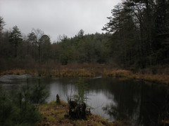
The Edmondson Pond Nature Trail was just up the road, so I made a quick loop around it. With the recent droughts, the pond has dried up a bit each summer and each time the beavers have moved their dams further in. The pond is probably a third of the size it was a few years ago.
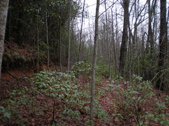
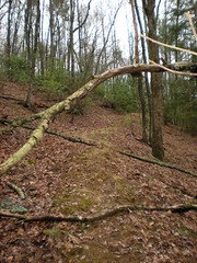
I'd seen a spur trail back on Old FS69A that looked interesting, so I headed back to check it out. It was surprisingly clean. This is a mystery. Maybe folks use it to get to the back of Rock Creek Lake rather than dealing with the thorns?
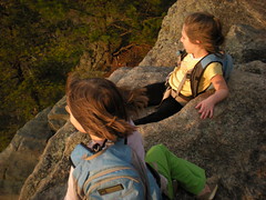
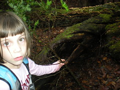
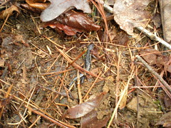
I almost stepped on this little guy.
The trail cut some time off my trip back to the car. It was still early though and I had plenty of legs left. I'd always wondered if there was a trail leading up Mill Creek. I mean, it's called Mill Creek, maybe there's a mill up there somewhere. I'd seen a well-groomed trail leading up it's south bank before. How far did it go? There's also a trail way up by the Benton MacKaye at the very top of Mill Creek. Do they connect?
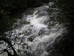
Turns out the well-groomed trail went a few hundred yards to a dam. It's so well groomed that it even has streetlamps. Beyond that, a trail did continue. At first it was just a little overgrown, but eventually it was choked with downed trees and rhododendron and very hard to push through. It crossed the creek umpteen times, sometimes in thigh-deep water, and passed through several flats where no trace of it remained but remnants of old fords. In one spot, a spring had formed right in the middle of the trail. I kept wanting to turn back, but then kept finding more of the trail. I'd also hoped for an awesome waterfall or something, but no luck, just a couple of little shoal-like thingies.
At infinite length I did give up on it. The trail may continue beyond where I left it, but I was running out of daylight. And the rain was back. Woo.