Toward the end of last weekend's 6 hour hand-slammer, I firmly resolved to ride something smooth and flowing as soon as possible. At first it looked like a bunch of us might go camp and ride at Tsali. When that fell through, my brother suggested Chicopee. In the past it was pretty rough, but recently most of the trails had been rerouted following IMBA guidelines. I hadn't ridden any of them, they might be just right. No plans on Saturday, so I gave it a shot.
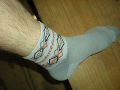
Comfy swag from last week's 6 hour.
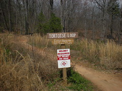
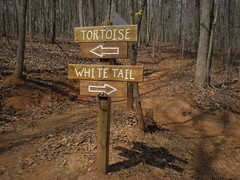
New signage everywhere.
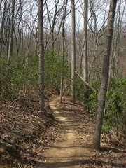
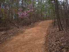
This is the definition of flow. Ahh, el luxurio. I rode this all day long.

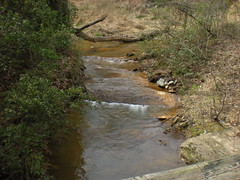
Some pretty scenery.

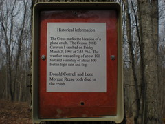
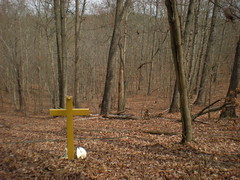
Some somber.
I rode every inch of every trail in the system, and a couple of loops twice. Definitely the right decision. It was dicey getting back to the parking lot though. I ran out of water and had long since given away my Clif Blocks to a lost and bonked couple on the Flying Squirrel. A few miles more miles and I'd have been in trouble. This explosion of purple lifted my spirits on the climb out. The photo doesn't do it justice.
Back at the parking lot there were bigger problems, a kid had ridden off away from his dad and was now lost. I still had legs, the bonked out couple was doing better and the kid's dad was feeling strong too. We had about 2 hours of light left, so we planned out a search pattern. But, just as we clipped in, the kid rode out of the woods. Ahh, perfect timing.


No comments:
Post a Comment