Isabel had a gym meet that somehow finished before noon. Kathryn was headed for a nap. I had the whole rest of the day to spend with the girls and apparently yesterday's 6 hour didn't totally kill me. They just wanted to watch TV for the rest of the day, but I sort-of talked them into going back up to Canada Creek instead.
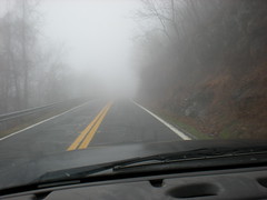
It was all spooky-haunted-forest on the road to Woody Gap.
We parked on the slab at Garrett Farms, looked around a bit and headed off around the knob to the south.


Yesterday's rain made Canada Creek high and fast. The terrain near the 4th cascade is steep though, and it was tough to get a good view.
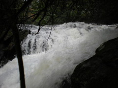
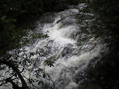
The 3rd cascade was easier to see, but there's more of it upstream that you can't see in these shots. The kids love walking around on rocks and were starting to appreciate that they weren't home watching TV.
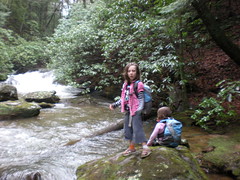
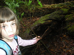
Sophie found a hollow log and having seen Over the Hedge recently, was certain that many families of animals lived in it.
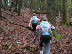
We climbed up to the old road that eventually becomes Gooch Road South and headed west.
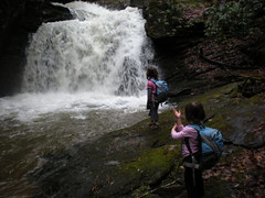
Getting down to the 2nd cascade was challenging, but the kids are like little goats and we got it done. At this point they were really glad that we didn't stay home. "Dad! Dad! This is awesome! Yeeeeaaaah!" It was so loud, we had to yell. The kids decided that the foam in the pool looked like polar bear fur. A family of polar bears must live down there. This would end up being our favorite spot of the day.
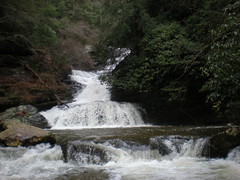
The main cascade was tricky to get to. Across the creek, a road leads right to it. But the creek was high, the current was strong and there was a barbed wire fence line strung across right there. Rather than getting soaked, swept away, sliced up and arrested, we sidehilled the south bank until we found a good spot. While taller than the 2nd cascade, it wasn't quite as impressive.
I gave Iz the map, showed her where we were and let her try to get us back to the truck without backtracking past cascades 3 and 4.
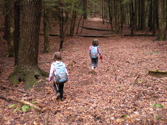
She got us up to the gap on Rich Mountain but the intersecting trails there were confusing. I wanted to check out the trail leading up to the top of the knob, so we ended up going up that way. Iz was getting a little tired. Sophie couldn't exactly figure out the walking stick.
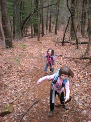
I figured we'd just head cross-country to the truck from there, but my reckoning was off, the sun was hidden by clouds, I didn't check my GPS and we ended up heading along the west ridge instead of the north ridge. Soon the terrain started looking wrong and my shortcut turned into the long way around. That'll teach me. The kids didn't mind though. It had been a good day.


No comments:
Post a Comment