My hikes just keep getting better and better. These last three have been some of the most fun and interesting I've had in a long time.
This past weekend started off promising. John, Howie and I had plans to put in some solid miles on the road bikes on Saturday. I managed to get a hold of Clark on Thursday too, and he thought he might be available to do some exploring on Sunday. All-around, the weekend was looking busy and fun.
But, as they sometimes do, work and weather conspired against me. I spent all day Friday solving an obscure problem for one client, which meant that I didn't spend all Friday putting together a demo for another client. Combine that with an 80% chance of rain on Saturday... We punted on the bike ride and I spent the whole day on a coding binge. Then, it turned out Clark had work to do on Sunday as well, so he was out too.
Dangit!
Well, Sunday morning rolled around, and I headed north anyway. Good thing I enjoy exploring by myself. It seemed I would be enjoying it again.
Last weekend I discovered the Chattahoochee River Trail. I.e. the railbed that the Byrd-Matthews Lumber Company ran up into what is now the Chattahoochee WMA to log it into oblivion. I'd discovered it at the end of the day though, and really only got to hike a mile or so. This time though, I had all day, and I was even getting an earlier start than usual.
Conditions were ideal. I got on the trail around noon. It was sunny. It was cool. It had rained a little the day before, but hadn't poured. The river wasn't too high. Ideal.
The trail was just right.
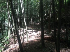
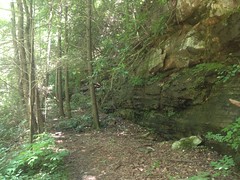
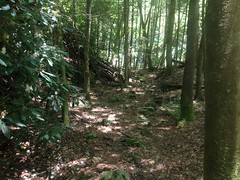
Beautiful!
I quickly passed where I'd had to turn back last time, and crossed the river over and over.
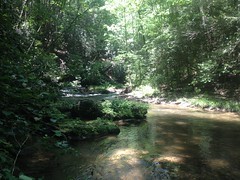
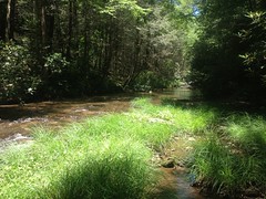
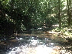
Also beautiful.
None of the crossings were too difficult. I don't want to get cocky, but I seemed to have knocked most of the rust off of my "is that safe to step on?", "over or under?", and "hands-and-feet" skills. The only slip I had was, ironically, dropping down to the trail from the parking lot. It looked dry, but it had rained, and there was a thin slip layer... Grrr.
The old railbed was easy to follow, for the most part. When it appeared to end, there was always more on the other side of the river. It did seem that the designers' objective was for the rail to be on the opposite side when a creek would tee in. Why though? Was it easier to build a trestle across the river than across a feeder creek? Did it make loading logs easier, somehow? Man, I want to know. Somebody knows!
There was an exception to this general rule though. At some unnamed creek north of Turkeypen Creek, at a bend in the river, the old railbed didn't cross over, but then also just seemed to disappear. You could see where people kept going from there, but there was no obvious sign of the old rail.
I spent about 20 minutes looking around and found all kinds of weird stuff. There was a campsite where somebody had built a shelter some time ago.
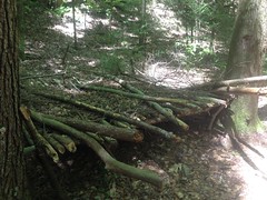
It wasn't unlike the one me and Clark found up on Henson Branch, or at least it wasn't before it collapsed. Maybe the same guy built it.
There were beavers in the area too. I guess?
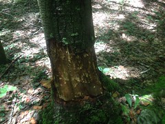
They didn't seem too determined though. Nearly every tree in the area had been mauled, but none appeared to have been actually cut down. There was no sign of a dam either. At earlier campsites, there were clear signs of the activity of "human beavers", where people cut down small trees for firewood and scraped bark for tinder. People seem do that at waist-to-shoulder level though,and actual beavers do it way down at the bottom. All the scrapes around there were really low.
There were also these weird iron things.
One was all ornamental.
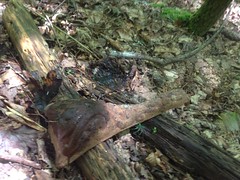
The other looked like part of a stove or something.
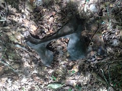
Whatever it was, it looked like it had been blown apart from the inside.
Maybe both were parts of an old locomotive. Maybe they were just dumped there. Maybe one day I'll walk into a flea market and see something that sheds light on the mystery. Until then... No idea.
I did, eventually find the old rail bed again, a hundred yards or more from where it had disappeared earlier. There must have been an impressive trestle there back in the day.
The trail seemed less traveled from that point on, but it was still passable, and I made a few more interesting finds.
If there's any question as to whether the trail is an old railbed, this artifact ought to lay it to rest.
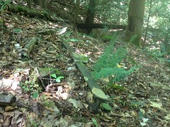
It was just lying there. No idea why it wasn't taken out with the rest of them, but it wasn't. I've seen the same thing on the Silver Comet trail. A few old rails, just lying off to the side. Things get left behind sometimes. Whenever I see that, I always wonder about it. Why that one thing? Was it just an oversight? Did they run out of time? Was alcohol involved? That last one is always my favorite theory. I suspect it's more often the case than it might seem.
The trail crossed the river there, and there was a small falls that required a little negotiation. It wasn't immediately obvious where the trail picked up either. Again, I spent about 10 minutes looking, and followed a few false leads, until I finally saw this:
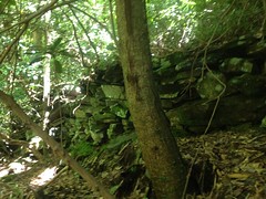
Definitely man made. I recognized it from similar fills along the Raven Cliffs Falls Trail, which is also an old railbed.
Yep, the trail was right there, but it was also quite overgrown. Not impassible, but I had to push stuff out of the way pretty regularly.
I came upon a tree that I liked too.
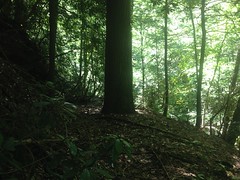
The Defiant Hemlock. That tree is all "I'm going to grow right here. Right here. Right, dead in the middle of your logging road. Yeah, cut me down and haul me out. Ooooh, wait. You can't. Not for like 90 years now. Ha!"
At least, that's what I imagined it would say, if it could speak. Or think. Or perceive anything.
Personification!
There was a larger falls further north, and the scramble down to it was really, really sketchy.
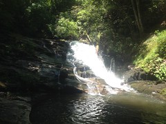
It was easier climbing out though. It would seem that my "is that safe to step on?" and "hand-and-feet" skills are good, but my "should I face forwards or backwards?" needs a little work.
The trail in the immediate vicinity of the falls was fairly clear and fairly well traveled. There was a 5-star campsite immediately across the river too, with what appeared to be a well-worn trail leading up away from it.
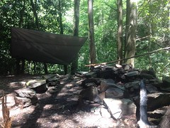
Got it. People camp there, see the falls while they're at it, but don't often go any further up or down stream.
I did though, upstream. Another stacked stone fill indicated where to go.

Before long I recognized where I was. I'd been there a few weeks ago. It was an old campsite with a weird bulk-chunk-iron grill thing in it. I hadn't seen the railbed at the time, but I didn't know to look for it either. Turned out it wasn't hard to find, but you know what else I found? An actual grill.
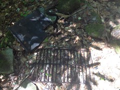
It looked like someone had just chucked it off into the woods. I chucked it back into the campfire ring. Maybe it'll be useful to someone. Might do a better job than that weird block-chunk.
About that time I realized that I needed to eat. I'd been carrying around a Big 100 bar in my pack for like 3 weeks and I figured I'd better eat that.
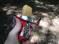
Hmmm... They're not very good. Not bad, just not "Mmmm... wish I had more of that" good
At first I tried to eat and walk. But, that section of trail bordered on impassible. It kept knocking my hat off, and a stick jabbed me just below the eye. Arrhhh. Ok. Eat now. Walk after.
After 50 yards, if I hadn't known that the trail must be there, then it would never have occurred to me that it was. The words "overgrown" and "reclaimed" really don't say it. Fortunately there were no thorns. Also, fortunately, it was short, and one river crossing later, it was back to being well traveled.
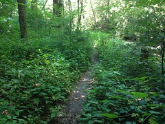
Turned out I was really close to the Upper Chattahoochee Campground.
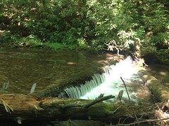
The road there appeared to have been built on top of the old railbed. In fact, that appeared to be the case all the way up through the campground.
Horsetrough Falls is up that way, so I took a quick trip out to it.
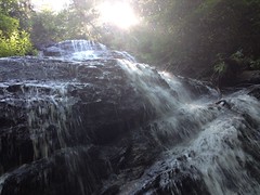
I couldn't find any clear evidence that the rail had continued past the campground. It would make sense for that area to be the end of the line, actually. The mountains get pretty steep north of there. Logs might have been skidded down to that spot, loaded up and taken out on the rail. There might have been a logging camp there at some point too. Seems like Clark mentioned something about that a while back... Could be why there's a campground there now.
At any rate, I explored the various side trails too.
Somebody had created some art along one of them.
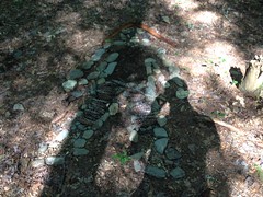
It's art.
Another led up along the Chattahoochee even further, past a fairly spectacular falls.
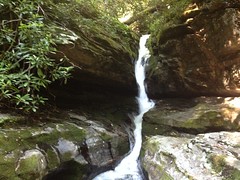
That's the entire Chattahoochee, flowing through that crack in the rocks.
It's much bigger than it looks in the photo. I could easily stand under that ledge on the left. My camelback is actually sitting on the rocks under the ledge, but it's difficult to see.
That trail was cleaner than anything I'd hiked yet that day. It lead to Crain Field, which Clark, Suzy and I'd been to before, riding up FS44E.
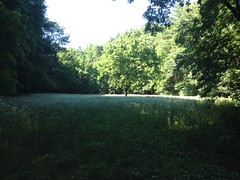
The last time I was there, I hadn't noticed the trail continuing north. There it was though, and it kept going and going. As much as I wanted to keep following it, there were two issues. First, it was getting late. Not late in the absolute sense, but late in that I needed to start getting back, or it would be very late when I did. Second, there was a campsite back there, a couple had just arrived not 10 minutes before I did, and I didn't want to be all up in their space.
It's funny, I saw very few people, all day. There were like 5 fishermen at the very start of the trail. Then, I saw the Sheriff, of all people, pull into and then back out of the campground, patrolling, I guess. And, then these folks, in the most remote spot I'd yet been. What are the odds?
Good enough though. Now, I know where I'm going next weekend.
On the way back, I took the road over to Vandiver Branch and took the falls trail down along side the creek. Turns out it teed in where it had appeared to earlier. Good to know. Also, several spots looked like they'd been taken out by landslides. If I hadn't been pretty sure it kept going, I might have declared it to have ended earlier than it did.
Figuring it'd be quicker than backtracking and taking the road the long way around, I bushwhacked up the ridge to the food plot at the top of the knob there. If you ever get the urge to do that... I mean, that specific ridge... Reconsider. There are these vast, dense, horrific thickets on that ridge. You can't get around them, and only two things grow in them: locust and blackberries. That's all. Both have thorns. It was horrible.
I got where I wanted to go though, and probably saved some small amount of time.
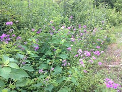
Back on the road, there were lots of flowers growing along the edge and bees were attacking the heck out of them.
My eye started to sting where that stick had gotten me. I wanted to look at it, but I didn't have a mirror. I keep meaning to get a mirror, but then I keep forgetting too. Fortunately I did have a technology-mirror.
Technology-mirror, show me my face!
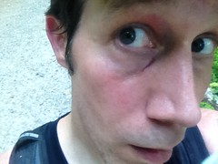
Hmm... Well, at least it wasn't bleeding.
Earlier, it looked like there might be a trail leading up Jasus Creek, from the Chattahoochee, so rather than take the road all the way back down, I checked it out. Yep, there was a trail, leading downstream. It crossed several times, and a few times I just had to walk down the creek itself, but the trail eventually picked back up, every time.
It looked, at first, like I'd have to get over this falls somehow, but then the trail picked up again within feet of the edge.
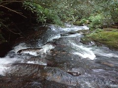
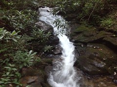
If you don't mind getting your feet wet or "hiking" on "trails" (note quotes around each), it's really nice back in there.
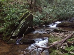
Oh, man I was running out of time. I had to hustle to get back to the car and I wasn't executing very well. I actually managed to trip once and kept knocking my hat off ducking under stuff.
At the very last creek crossing, some fairly large animal shot across my path. At first I thought it was a cat, like a house cat, but no, it was a raccoon! Ha. Only wildlife I'd seen all day and it was a raccoon. I've got those in my yard. I was a little disappointed that it wasn't something more exotic, but I'll take what I can get.
The Nacoochee Grill was closed when I drove by. I ended up grabbing some junk food at the Kountry Kupboard in Cleveland, where their barcode scanner was giving them fits. Not the best dinner ever, but I was very hungry, and if nothing else, it was inexpensive.
Yeah! So, I have now explored the old logging rail, or at least that section of it. There could be more along the lower section of the river between Martin Branch and Robertstown, but that's not as interesting as what I already found, so that goes on the "maybe later" list. I'm really curious about that trail leading off into the Wilderness though. It might lead all the way to the AT, or it might peter out after the last viable fishing hole. I'm not certain, but I am certain that at the next available opportunity, I will find out.


No comments:
Post a Comment