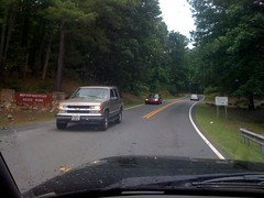
I'd heard that Red Top Mountain has a permanent orienteering course set up, so we headed up there.
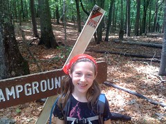
They've got some cool stuff. We're going to have to go back and camp or something. The Visitor's Center had terrariums set up with snakes in them, including an Eastern Hognose, which I'd never seen before. A very excited kid kept grabbing me and the girls by the arms and pulling us over to show us. He was VERY excited. We picked up their orienteering map too, by far the most detailed map I've ever seen in my life. It showed every boulder and downed tree in the area.
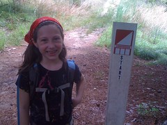
Unfortunately, the extra detail was actually confusing and we walked past the trailhead, confusing it for another trail. Woohoo! It's those kinds of mistakes that make the girls doubt it when I say we're not lost.
After one false start, we got on track.
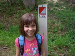
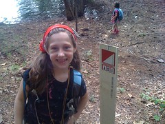
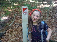
The first two markers were directly on trails. Iz needed a little help getting started, but then had no trouble finding them.
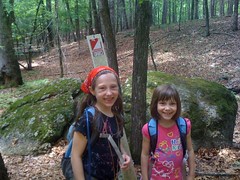
Sophie got us to the third. Off trail, but right along a creek.
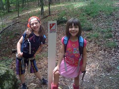
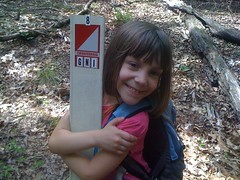
Marker 4 required actual compass navigation. I showed Iz how to get a bearing from the map, then follow it, tree-to-tree. She kept pulling to the right, but otherwise got us within 20 feet.
And then my compass flipped. I usually trust the compass, even when the terrain looks wrong, even when it seems like it can't be right. But this time it was telling me to hang a hard right, when the next marker was clearly to the left. Very weird. Maybe a distant lightning strike? I've heard of that before, but never seen it myself until today. I spent about 5 minutes verifying what had happened before proceeding. No big deal, just white for north.
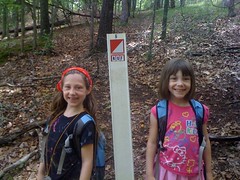
I showed Sophie how to navigate too. I guess it made sense to her, she led us directly to marker 5.
5 to 6 was tricky. A straight line would have led us through the lake, so we plotted an intermediate point and the girls split the work. They had the hang of it.
And so it was for the rest of the day. I barely had to help them at all.
Dead on to 6.
Dead on again to 7.
It was easier to just follow the terrain to get 8.
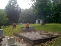
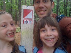
It looked easier to go uphill to a cemetery and follow the road to 9, so we did that.
9 to 10 was a long haul. Iz had pulled a bit to the right, but we really just needed to get to a creek and follow it upstream.
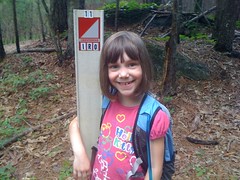
11 was also a long haul, through more varied terrain. Sophie got within 20 feet, but again, pulled a bit to the right. Still, pretty good for their first day ever.
I got us to the finish, which was actually pretty tricky, unless you wanted to bushwhack through dense pines and a field of tall grass.
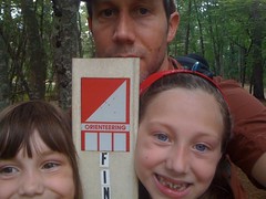
Great beginner course; not terribly hard, got harder as it went, mild terrain. The girls actually had a lot of fun. Apparently the markers are correct: "Orienteering is a fun sport for all ages."
When we got home, Sophie showed Kathryn what we were doing. Pretty cool. Maybe we'll be ready for the Trillium Trek next year.
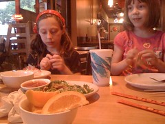
Then we went downtown and ate at Doc Cheys.
Yes.


No comments:
Post a Comment